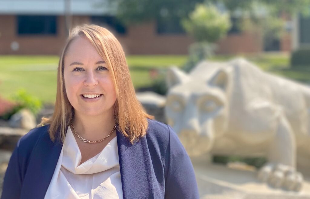
We recently caught up with Adrienne Goldsberry, Assistant Professor of Geography, John A. Dutton e-Education Institute, College of Earth and Mineral Sciences to discuss her role with Penn State World Campus. Here are the highlights of our conversation:
Please give us a sense of your teaching background; how did you arrive at your current position with Penn State?
I have 10 years of experience teaching geography and geographic information systems (GIS). Additionally, my master’s degree from University of California, Santa Barbara, focused on teaching college-level geography. Prior to working for Penn State, I was an instructor in the Department of Geography, Environment, and Spatial Sciences at Michigan State University (MSU), where I taught both “traditional” (in-person) classes and online classes. I have taught and developed a wide variety of courses, from urban planning classes, to regional geography classes, to more technical classes in GIS, cartography, and remote sensing. While at MSU, I developed and managed their online Professional Certificate in GIS. It’s there that I gained more of the skill set for teaching GIS courses online, and also for teaching adult learners like we have in our Certificate and Master of GIS programs here at Penn State. I started working for Penn State in September 2016.
What courses do you currently teach for Penn State World Campus?
I currently teach two courses: Geography 482: Making Maps That Matter with GIS, and Geography 483: Problem Solving with GIS. I also advise the students in our Postbaccalaureate Certificate in GIS program.
Can you tell our readers more about the field of GIS?
A lot of people think that GIS is a relatively new field of study, but the foundations of it can be traced back to before we were using computers. For example, practitioners and academics in the fields of urban planning, landscape architecture, and geography were developing some of the fundamental GIS analysis techniques, using paper maps back in the 1950s and 1960s.
Before learning more about the field of GIS, we need to know a little more about geography. Geography is a broad and complex discipline, and it’s much more (so much more!) than memorizing world capitals, longest rivers, and highest mountains. In fact, that’s not really what geographers do at all. Geographers are interested in relationships and interactions between, and patterns on, the earth’s surface. Human migration patterns, changes in urban and natural landscapes, population and economic changes in different regions, among many other topics, are all studied in the discipline of geography.
And this is where GIS fits in. GIS is a tool that geographers (and now academics and professionals in many other disciplines — more on that in a moment) use to visualize, analyze, and interpret these spatial relationships and patterns. “Spatial” refers to spaces (locations) on the earth’s surface.
More and more industries and disciplines are using GIS. We can use GIS to study where a franchise might want to open its next store, where a school district might want to site its next elementary school, where and how sea level rise might change coastlines, where a wildfire might spread and who might be affected. The list goes on and on! Notice the use of “where” in those statements; “where” is what makes these geographic questions that we can study with GIS.
Where do you think the field of GIS is headed?
There’s that word “where” again! This question is definitely a major topic that GIS practitioners who study the field in academia are talking about. If anything, more and more people in different disciplines and professions will be using GIS as they realize its value and important contribution to problem-solving. Additionally, the software that people use to perform GIS analysis will continue to change. For example, we’re seeing more of an online component to GIS. We can share geographic datasets online and post our maps online, making them more accessible to everyone. And in Penn State’s online geospatial education program, we are always updating our courses to incorporate changes in and new technologies for how people “do” GIS.
What have you learned by teaching Penn State World Campus students?
I have learned that Penn State World Campus students have a strong work ethic, which makes teaching them challenging (in a good way!). I have also learned the many different ways they are using GIS and how they became interested in geography and GIS from different backgrounds. As online educators, we sometimes can be in a little “bubble” teaching behind our computer, so interacting with Penn State World Campus students from around the country and the world keeps us on our toes!
What inspires you as a teacher?
I, like all teachers, am inspired when one of our students has an “aha” moment and realizes that what we’re learning in a class is something that he or she has always wondered about, and it really piques their interest. I am inspired every day by our students who are balancing so much — work, life (whether taking care of kids if they have any, taking care of other family members, volunteering in their community, etc.), but still have time to devote many hours a week to learning. Their desire to keep learning, and to better their lives by improving their current employment situation or changing careers, is awesome.
What is your favorite thing to do outside of the classroom?
I enjoy going on a long run early on weekend mornings, and sitting outside listening to good live music!
What makes you a proud Penn Stater?’
I’m proud to be part of Penn State because it truly lives up to its mission as a land-grant school to serve the community. Also, my husband was raised in State College and graduated from Penn State, and his mother still attends every home football game, tailgating at her RV beforehand. Even though I’m a native Texan and a University of Texas Longhorn, I’m an adopted Penn Stater too!