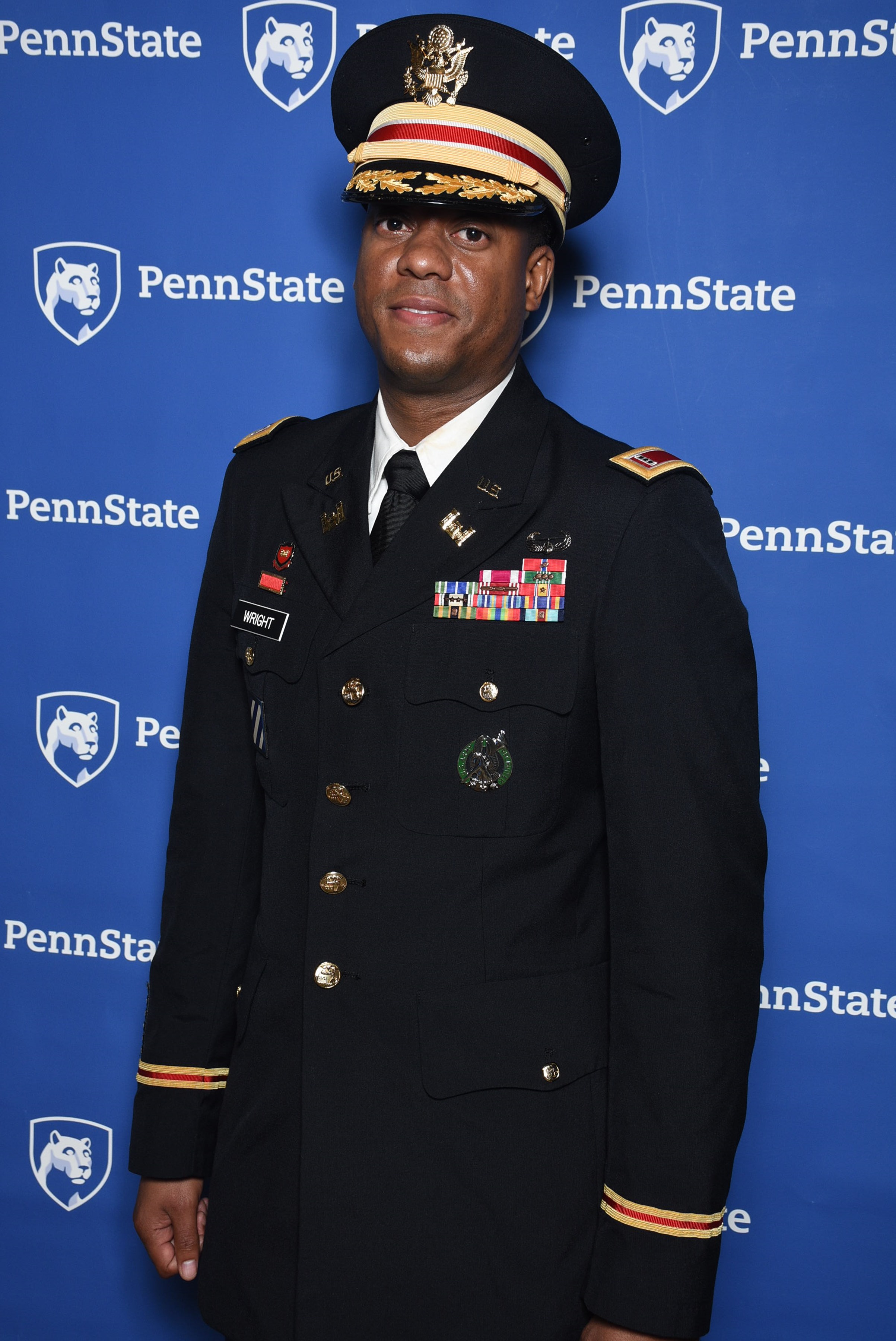
We enjoy hearing from our talented students in the Penn State Online Geospatial Program, especially about what they have learned from our classes and how they plan to apply their certificate/degree.
Chief Warrant Officer 3 Augustus Wright, from Fort Leonard Wood, Missouri, entered our program in 2015 and just earned his MGIS degree this past spring. For his capstone project, he studied machine learning algorithms and their applications to geospatial technology (a more detailed summary of his project is at the end of this blog). Chief Wright has served three combat deployments to Iraq and earned two Bronze Star Medals, among several other awards. We are proud of him and all of the veteran and current military students in our program. In this blog, Chief Wright shares his experience as an MGIS student at Penn State, and offers advice and insight that is applicable to both prospective certificate and MGIS students.
Let us know a little about yourself and how you ‘found’ GIS.
I am currently a Geospatial Engineering Curriculum Developer at Fort Leonard Wood in Missouri, and prior to that I served as the direct support officer-in-charge for the U.S. Army Europe’s 60th Geospatial Planning Cell. But much prior to that, I took four years of drafting and design in high school, which is where I developed a love for geodesy and schematics, and that eventually led me to GIS. When I began my military career I spent three and a half years in combat arms working with explosives, and one day an opportunity presented itself for me to reconnect with the kind of engineering I enjoy most. I reclassified military specialties in 2001 from Combat Engineering to what was then a Topographic Engineer.
What did you appreciate about your experience in the Penn State MGIS program?
I really enjoy learning. Despite having already had 16 years of experience when I began the MGIS program, I learned something new in each course. Aside from that I felt a sense of pride whenever it dawned on me that I’m a member of Penn State Alumni.
How do you plan to use your MGIS degree?
I plan to give back to the military another two years or so, then retire from active duty and delve into software, web mapping, and AI (artificial intelligence) development. I believe my advanced degree leaves me well prepared for that career change.
Do you have any advice for incoming students or students considering the MGIS program, based on your experiences so far?
I would simply tell incoming students to enjoy the journey and be sure to reflect along the way. The journey through the MGIS program is such a positively enjoyable and enlightening experience. I’m happy that I’ve earned my degree, but a little sad that the program is over. Enjoy it…soak it up!
And here’s a little more detail about his unique capstone project:
The analysis was intended to explore a modern method of autonomously extracting authoritative vector data by incorporating machine-learning (ML) algorithms into a commonplace GIS extraction Environment (GEE). The purpose of this research was to advance authoritative geospatial data production methodologies at government Geospatial Planning Cells, which primarily create data by heads-up digitizing. Officer Wright was able to achieve beyond 97% accuracy automating feature extraction of tree canopies and open water applying machine learning algorithms.
This story was originally published on the Penn State Online Geospatial Education Facebook page.


